Skyline Divide & Artist Point, 09/14/08-09/15/08
September 18, 2008 7 Comments
On this weekend, we decided to take it easy on ourselves–and I apologize if that attitude trespasses into the following trip report as well. The plan was to head up to Mt. Baker on Sunday morning after listening to a bit of the Packers game, set up the tent somewhere, and then head out for an easy afternoon hike. If we were feeling up to it, we’d do a little something on Monday morning, too.
We had a couple of bundles of firewood in the back of the Explorer and marshmallows and graham crackers in the cupboard. We got ourselves some gasoline and two chocolate bars and headed north on I-5. The only campground still open on SR-542 (Mt. Baker Highway) is Douglas Fir Campground, which is close to the trailhead we’d decided upon for our Sunday afternoon hike, Skyline Divide.
After checking in with the campground hosts (who said they’d had to turn away over 100 people on Saturday), setting up camp, and wasting a bit of time, we left for the trailhead. I suppose I should say that–since I’d mentally deemed this hike too easy–I decided to complicate things by hitting the trail late in the afternoon so that we could catch the sunset, take some photographs, and then hike back down afterward, using our headlamps. This would be our first time hiking in the dark.

So, sometime after 16:00 (you can see already I’ve let my specificity slide), we left for the trailhead, which is quite easy to get to. Or, at least, easy to find. If you’re heading east, it’s a right turn off of Mt. Baker Highway onto Glacier Creek Road, just past the town of Glacier, and an immediate (and signed) left onto Road #37. Prepare yourself for 12 long miles. For a while the road is wide and level, following the river to the left, but then it narrows and begins climbing switchbacks all the way to the end of the road. If, like us, you’re heading up to the trailhead while everyone else is coming down from the trailhead, you’ll be treading near the edge of the road many times, which has the added effect of increasing the drive time.
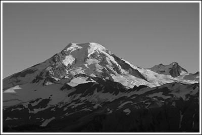
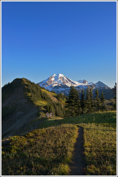
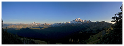
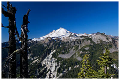
From the cars on the road, and the cars at the trailhead, we could tell it was a popular trail. We parked the Explorer at 4300’ and headed up the trailhead at ~17:00. Fortunately, we’d met more traffic on the road than we would on the trail, and most of the foot traffic passed us in the opposite direction within the first mile of the trail. Speaking of the trail: when I’d assessed this as an “easy” hike, I glanced at the elevation gain (~2000’) and the mileage (~6) and made note of them. I did so, though, independently; I failed to note that the trail gains ~1500’ in the first 2 miles, making it a pretty good workout. Nicole had been led to believe that this weekend would consist of walks-in-the-park, so we took our time on that first two miles, which are entirely and moderately uphill, and in the trees. At 18:00, we walked out of the trees and into the large ridge-top meadows of Skyline Divide, 5800’. Views of Mt. Baker and Mt. Shuksan are immediate, but the sun wasn’t yet setting and Spring & Manning said the best views were yet to come, so we continued on. But the camera was out, and was out to stay.
I was looking to set up shop on top of a knoll, which I assumed was directly in front of us, the first bit of prominence along the trail toward Mt. Baker. Once we reached it, we noticed a small side path climbing to its top. Here we had to use our hands a bit, and, once we reached the top, we noticed that the main trail was just steps away from where we’d worked ourselves up to, and yet another knoll stood in the distance. If you’re heading up this way, please avoid making our mistake. Hopefully that small path will grow in, as it really serves no purpose. Onward again we went to the next knoll, which was a pretty steep climb. Views here were excellent, although there was nowhere to set a tripod for unobstructed views of Mt. Baker. We decided to drop back down to near the first knoll, since views were excellent there and it’d be less territory to cover in the darkness.
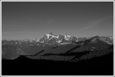
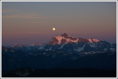
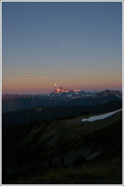
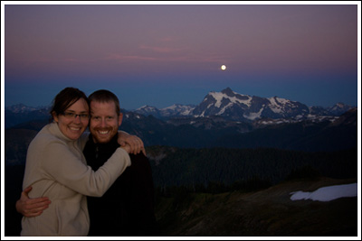
On the way back, I glanced over my shoulder toward Shuksan, and was stunned by the moon rising right over the top of it. Now, I knew that it would be a full moon that evening, but I wasn’t sure when it would rise or where it would rise, so I was surprised beyond pleasantries. Superlatives started and continued for nearly an hour. Mostly it was just me saying, “Wow!”
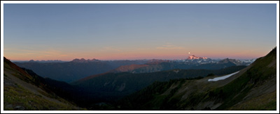
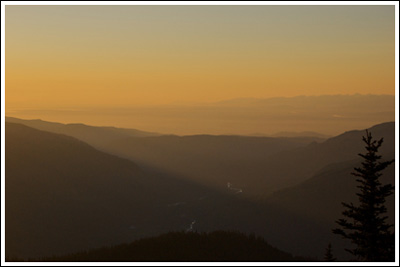
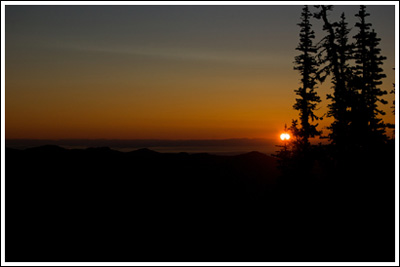
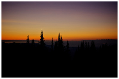
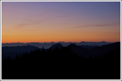
Not to be outdone, the sun was setting in the West, and it had me spinning like a top. Mt. Baker, as beautiful as it was, just could not compare to the beauty above Mt. Shuksan and over the San Juan Islands. Nicole insists I was getting bit by mosquitoes at this time, but I couldn’t feel them. It was, however, noticeably cooler, so we put on our fleeces and took pictures until 19:45, at which point I agreed it would be best if we got going.
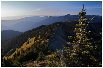
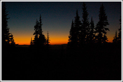
I snapped a few of the above pictures on our way down, in near darkness. As I mentioned earlier, this was our first time hiking after dark. Nicole was a bit more nervous about this than I, but we both talked without hushed voices the whole way down. No deadly bear encounters. At 20:45 we were back in the parking lot, which sat almost entirely empty. Distance: ~6 miles, round-trip. Elevation gain: ~2000’, with the high point being ~6200’. Total time, with many, many pictures taken: ~4:00.
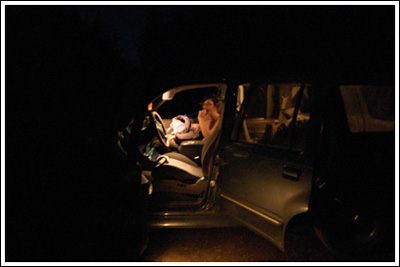
Once in the truck we made our way quickly down the traffic-free road and headed back to our campsite, where we started a fire and enjoyed s’mores for dinner. Once the fire was extinguished the moonlight lit up the ground beneath the trees. We stayed awake late since we weren’t quite exhausted, as we tend to be on our backpacking trips.

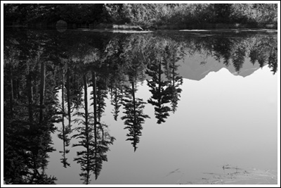
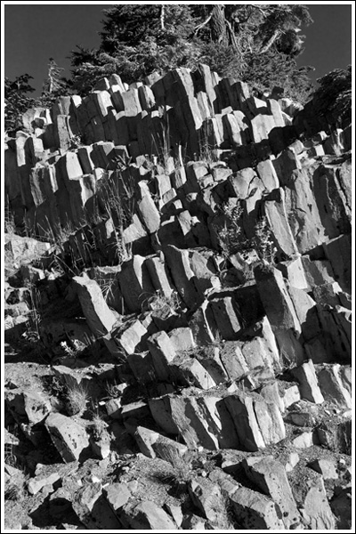
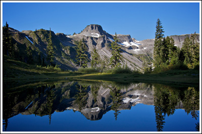
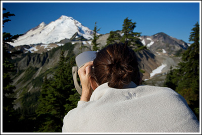
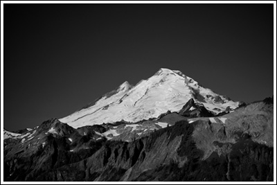
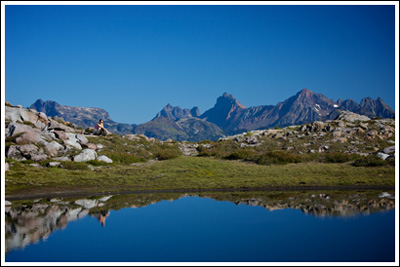
The next morning we woke up, broke camp, and drove to the end of the Mt. Baker Highway: Artist Point. We considered lacing up our boots, but decided that it was high time we were the ones walking around in flip-flops. The bright sun just above Mt. Shuksan meant that Picture Lake wasn’t cooperative, but we walked around it anyway, and then spent some time walking along the Artist Ridge trail. We walked maybe a mile or so, and took plenty of pictures:
This area seems like a great place for doing just what we did. After an hour or so, we got back in the Explorer and headed back to West Seattle.
An enjoyable weekend: great photo opportunities, gained experience, and it was all easy on the feet! As I write this, the weather has turned. It’s not making it to 60° today. If we’re lucky we’ll get out for a day hike on Monday…
As always, more photos at Flickr.

beautiful photos! your reports make me want to come back and do more hiking in washington….so many trails i never hiked. maybe someday i’ll come back (with a better camera, of course). cheers,Sarah
Thanks, Sarah. That gives me even more incentive to keep this up. Come back!
Spectacular photos! Makes me wanna drive South of the border… The pictures are all great, but I especially like the second pic in your article and the Table mountain one too. I did the Lake Ann trail last year, but this looks like a more rewarding hike.
First time I stumble on your blog; looking forward to more of your hiking adventures. 😉
Thanks! You probably have a shorter drive down to Mt. Baker from Vancouver–I guess if you’ve been to Lake Ann, you know that. I’m sure you’re not lacking scenery up there; we really want to get up to Canada and do some hiking, but that may have to wait for next year.
The background on my PC is of Mt Shuksan. I was at Artist Point in July of 2006 and there was still 4-5 ft of snow. I had a great time camping the Mt Baker area, until someone one drove into me on 542! (not hurt much, broke my leg, some scratches). But your pics convince me, I’ll be back.
Tom–sorry to hear about the accident! We were sideswiped about a year ago. Luckily, no injuries. Still a bit frightening to have someone cross the center line.
Glad to hear you’ll be heading back! We will be, too.
Pingback: The Year in Review « Don’t Look Down